Loading
Sector
Environmental twins built to operate, not just visualise.
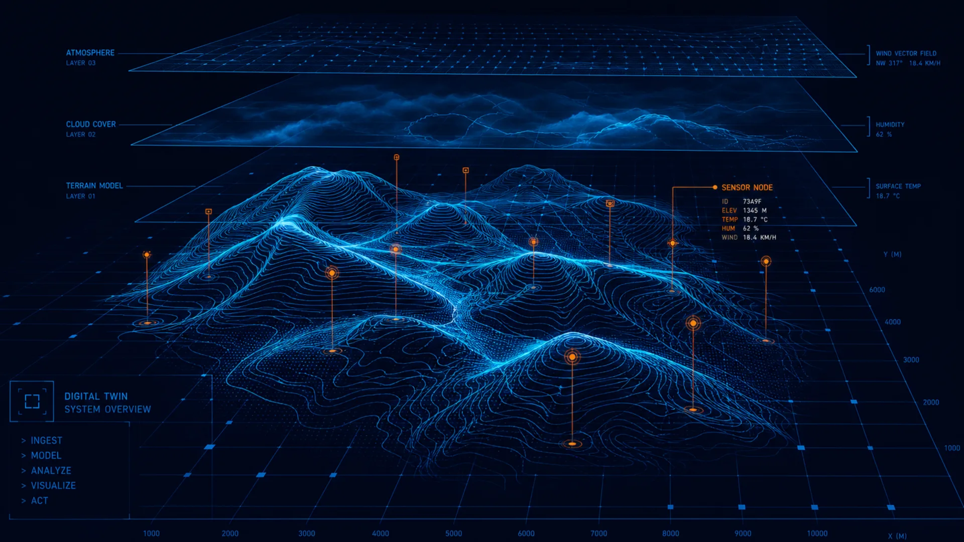
Large-scale environmental and geospatial twins for real operations.
Architecture, data pipelines, and validation for large-scale environmental and geospatial twins used in real planning and field decisions.
How we serve this industry
We architect data ingestion, QC, and governance so environmental and geospatial twins drive planning and field decisions — not stall as visualisation demos.
Use case
A coastal monitoring programme needs sensor and survey pipelines with QC ownership, coupled to operational planning systems rather than a disconnected map viewer.
Buyer pains
- Environmental models that cannot connect to operational systems
- Sensor and survey data streams without a durable architecture
- Geospatial twins that drift from ground truth
- No clear ownership between science, engineering, and operations software
- Scale and performance limits when moving from pilot visualisations to production
Illustrative programme (fictional)
Coastal environmental twin architecture — illustrative
Define decision users and fidelity, design ingestion/QC loops for sensor and survey streams, and pilot a twin scoped to one real planning decision with scale-up recommendations.
Fictional but realistic — not a client case study or logo claim.
The engineering challenge
- Many environmental twin programmes stall at the visualisation stage — beautiful maps that cannot drive operational decisions.
- Sensor networks, survey campaigns, and simulation outputs need a durable software architecture to stay trustworthy at scale.
- Operators need governance, QC, and integration — not another disconnected dashboard.
Our approach
- Define twin purpose, decision users, and required fidelity
- Architect data ingestion, QC, and model update loops
- Integrate geospatial, sensor, and operational systems
- Build production software with clear ownership boundaries
- Validate twin outputs against measurable ground truth
What we deliver
- Twin architecture and data model
- Ingestion and QC workflow design
- Integration plan for operational systems
- Pilot twin scoped to a real decision use-case
- Scale-up and governance recommendations
Capabilities
- Environmental twin architecture and data pipelines
- Sensor, survey, and geospatial integration
- Coupling environmental models with asset and electrical systems
- Production-grade software for twin operation and governance
- QC and validation workflows for large environmental datasets
Standards awareness
Awareness ≠ certification. Chips below indicate domain familiarity — not claimed accreditation or compliance delivery.
OGC / ISO geospatial standards awarenessIHO / hydrographic data standards awareness where relevantEnvironmental monitoring programme frameworks
Start with one real system
A 30-minute discovery call is free. A diagnostic engagement produces a scoped review and prioritised findings in one to two weeks — depth depends on access to drawings, data, and the system.